The Transcontinental Aqueduct. Leg 11: The highest pumping station in Arizona to San Carlos Lake, a distance of 93 miles.

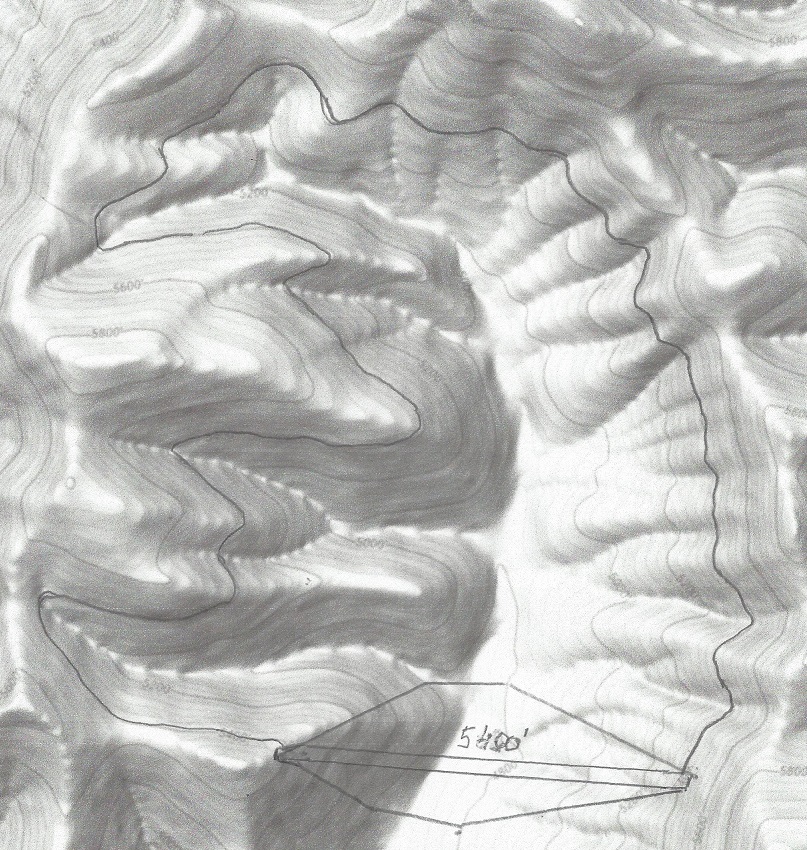
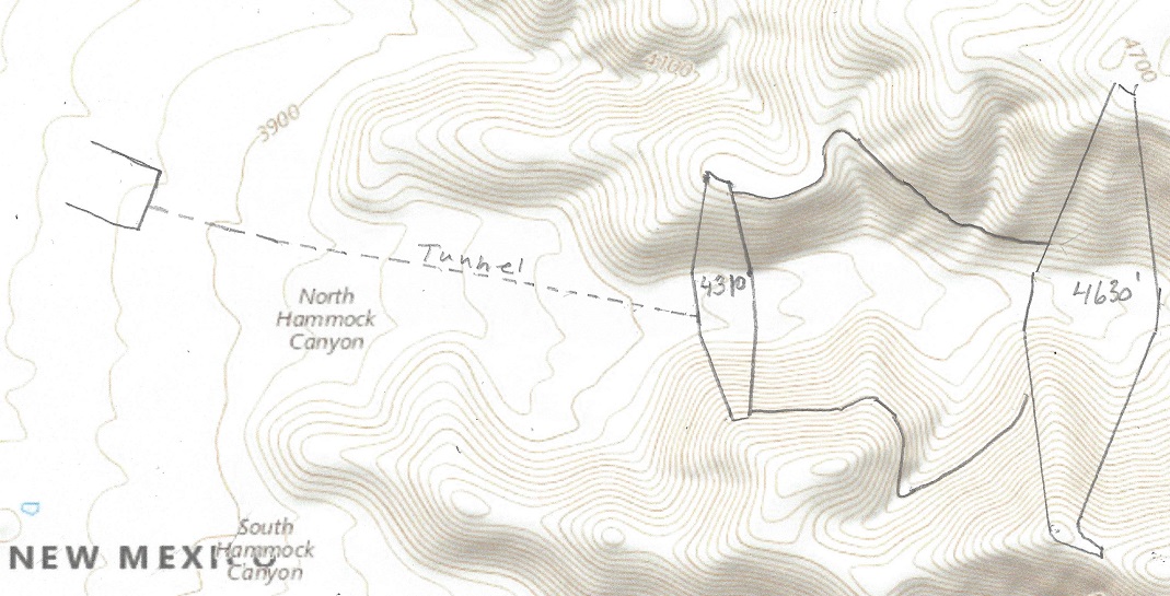
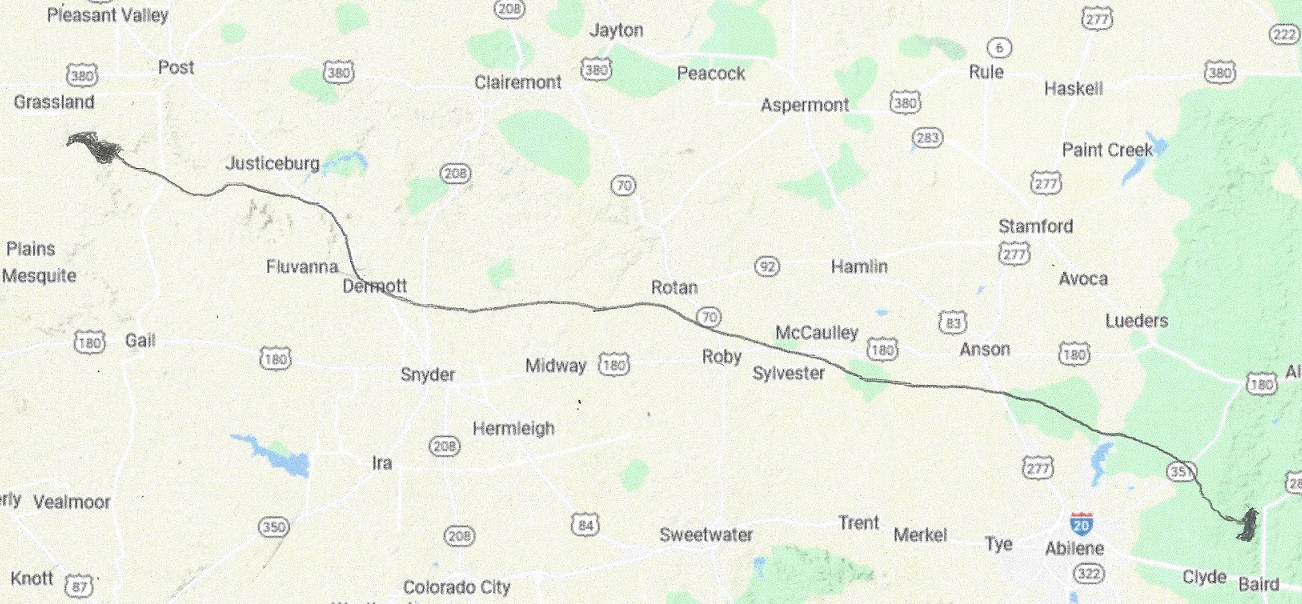
The aqueduct stage of this leg is 32 miles and is generating power.The drop is average (4,200 – 3,000 – 32×2.2) = 1,130 feet. The maximum flow is 16,800 cfs. This stage is capable of generating maximum 1.4 GW of power 24 hours a day. Then it drains into Gila River for 47 miles, following 14 miles of San Carlos lake, for a total of 93 miles.

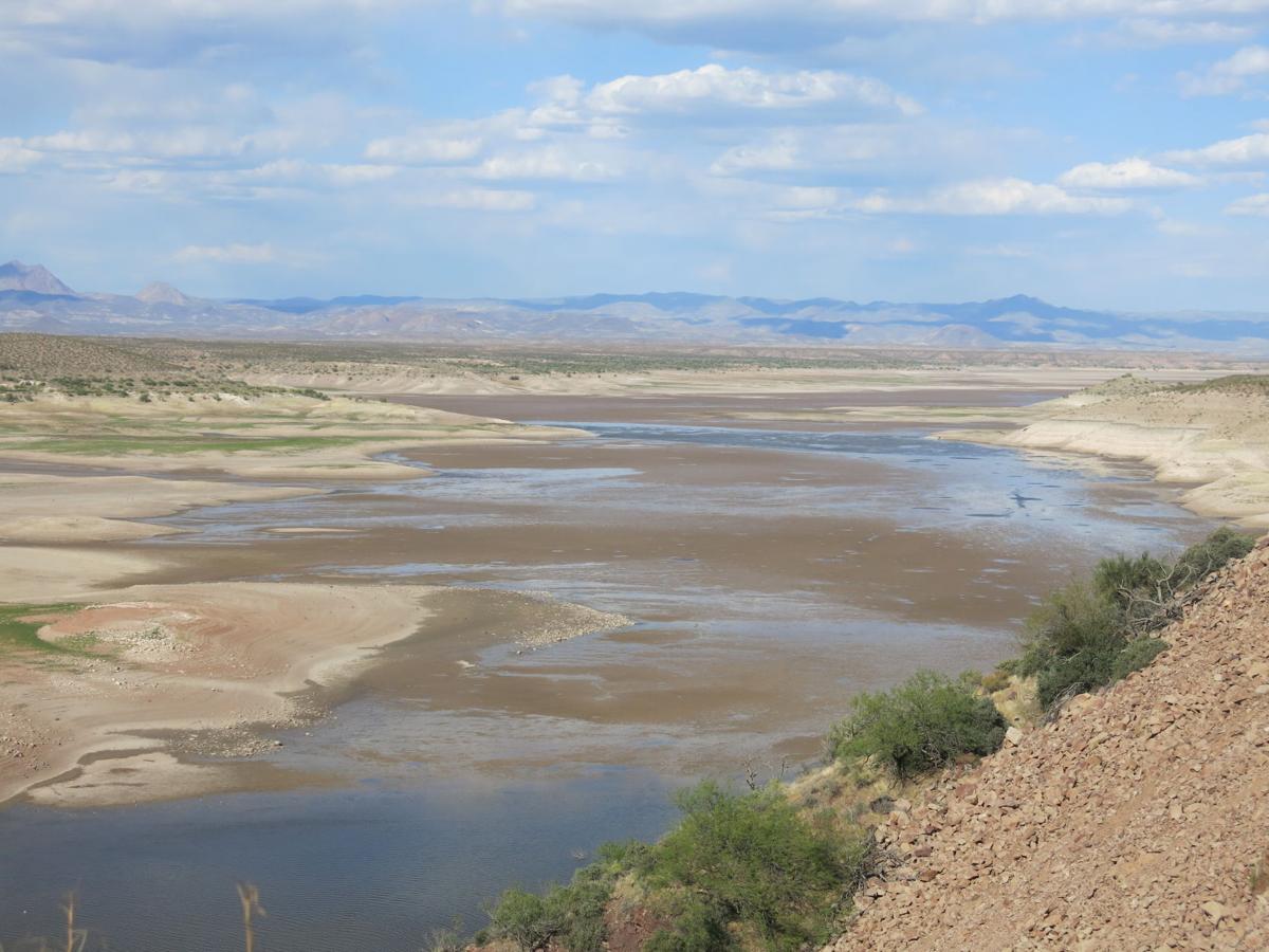
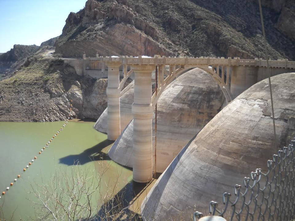
San_Carlos_Lake is located within the 3,000-square-mile (7,800 km2) San Carlos Apache Indian Reservation, and is thus subject to tribal regulations. It has been full only three times, in 1993 it overflowed the spillway and about 35,000 cfs of water caused erosion damage to natural gas pipelines. The lake contained (April 6,2021) less than 100 acre-ft of water. All fish was dead.

When former President Coolidge dedicated the dam in 1930, the dam had not begun to fill. Humorist Will Rogers looked at the grass in the lake bed, and said, “If this were my dam, I’d mow it.”[

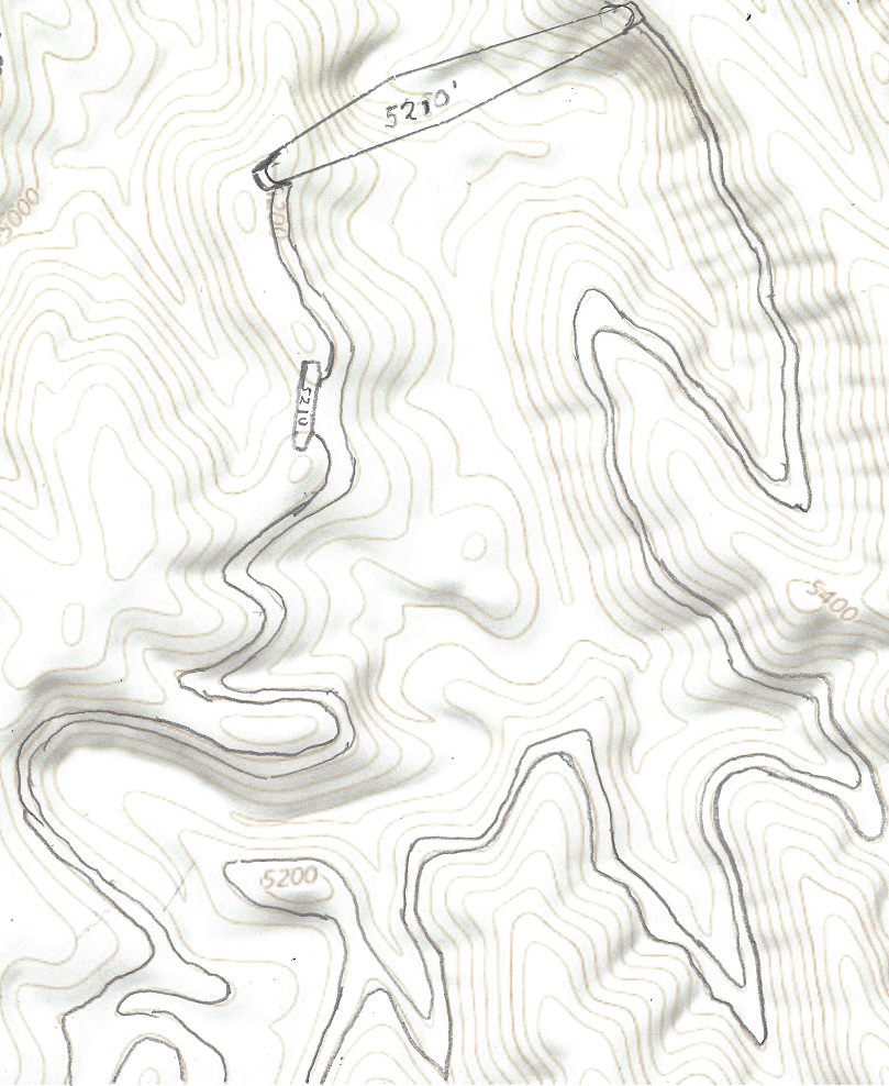
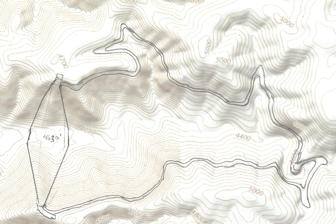
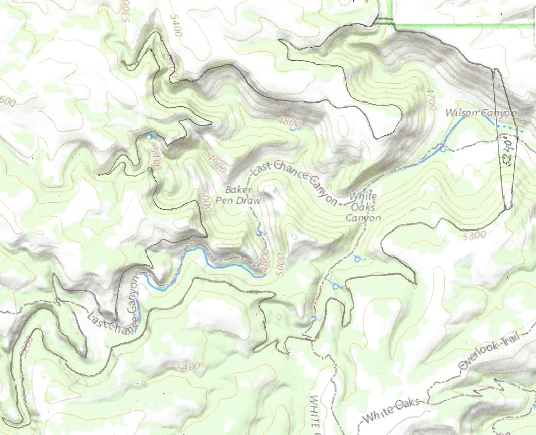
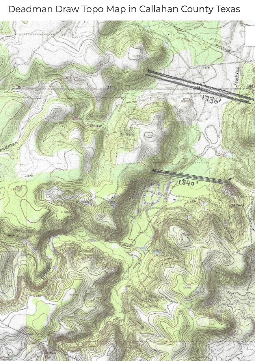
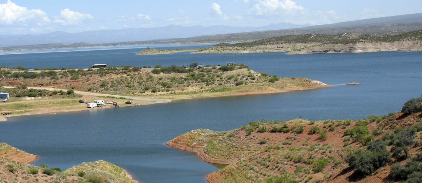
When the Transcontinental aqueduct is built the lake will always be nearly filled, level will be at 2510 feet with flood control nearly automatic, it will never overflow, and it will look like this, or better:

The San Carlos lake, when filled will hold 1,000,000 acre-ft of water.

The Coolidge dam will have to be retrofitted for a 25,000 cfs water flow

The Coolidge dam will have to be retrofitted for a 17,000 cfs water flow. When water starts flowing at half capacity, 8,400 cfs in phase 1 of the building project it will take 2 months to fill the lake.

What’s in it for Arizona? The San Carlos Lake has been a great disappointment. It is more often empty than even half full, and when it is empty, all fish die. With The Gila river will be rejuvenated and will be able to carry fish again, making it the great recreation spot it was meant to be. In addition it will generate up to 1,4 GW of Power and carry up to 12 Million Acre-ft per year of water to the thirsty American South-west. In the first phase, while the aqueduct is built to full capacity, the flow will be 6 MAf per year.

The Transcontinental Aqueduct. Leg 10: Martin Tank Lake to the highest pumping station in Arizona, a distance of 200 miles.

The Martin Tank Lake dam is 2,260 feet wide and 230 feet high. The Lake will contain about 30,000 Acre-ft when full, about twenty-one hours worth of storage.

The elevation at the Martin Tank lake will top out at 5,220 feet with maximum water level at 5,210 feet. Because there is no water storage en route water will be pumped at all times at The aqueduct will first descend to 3980 feet, as it crosses the Rio Grande in La Mesa, a distance of 50 miles. The elevation difference is (5,120 – 3980 – 50 X 2.2) feet = 1.030 feet. Releasing 16,900 cfs of water 1,030 feet will generate 1.285GW of energy continuously. From La Mesa it will climb to the highest pumping station in Arizona, located 10 miles west of the border, at 4,200 feet. The total lift of the water in stage 10 is (4,200 – 3980 + 160×2.2) feet = 572 ft. To lift 16,900 cubic feet per second 592 feet requires 892 MW of power, for a net electricity generation of 393 MW.

What’s in it for New Mexico and Arizona? Up to 16,900 cfs of soft water is being delivered to the thirsty south western states. This corresponds to 12 Million Acre-feet per year. The Colorado river contributes 15 MAF/year.

The Transcontinental Aqueduct. Leg 10: Martin Tank Lake to Poppy Canyon pumped storage reservoirs, a distance of 200 miles.

The Martin Tank Lake dam is 2,260 feet wide and 230 feet high. The Lake will contain about 30,000 Acre-ft when full, about eighteen hours worth of storage.

The elevation at the Martin Tank lake will top out at 5,220 feet with maximum water level at 5,210 feet. Because there is no water storage en route water will be pumped at all times at The aqueduct will first descend to 3980 feet, as it crosses the Rio Grande in La Mesa, a distance of 50 miles. The elevation difference is (5,120 – 3980 – 50 X 2.2) feet = 1.030 feet. Releasing 16,900 cfs of water 1,030 feet will generate 1.285GW of energy continously. From La Mesa it will climb to the Poppy Canyon Upper Reservoir. The dam is 480 feet high and will top out at 5,400 feet with a maximum water level at 5,490 feet. The total lift of the water in stage 10 is (5,000 – 3980 + 160×2.2) feet = 1196 ft. To lift 16,900 cubic feet per second 1196 feet requires 1,508 MW of power, for a net need of 225 MW. This can be supplied by two 100 MW LFTR nuclear reactors, operating 24 hrs /day The Poppy Canyon Reservoir will look like this:

The Poppy Canyon is a pumped power storage, consisting of an upper dam:

Dam width 4,500′ height 540′ water storage 230,000 acre-ft

and a lower dam:

Dam width 4,500′ height 500′, water storage 200,000 acre-ft

The total lift of the water in the pumping stage is maximum (5,390 – 4,400) feet = 990 ft. and the minimum lift is 200ft, for an average lift of 350 ft. The pumping stage pumps up 10,000 acre-ft per hour for i9 hours needing maximum 10.7 GW of power. During the release stage 38,000 acre-ft of water is released per hour for a total power generation of 78 GWh / day of pumped storage electricity. In addition, the 107 100 MW LFTR SMRs will generate 53.5 GWh of virtual power storage when no water is pumped up.

What’s in it for New Mexico and Arizona? 16,900 cfs of soft water is being delivered to be divided among the south western states. In addition this stage will provide up to 133.5 GWh of pumped storage peak energy daily to help stabilize the grid when more solar power panels are installed and electric cats and trucks are recharged.

The Transcontinental Aqueduct. Leg 9: From the North Hammock Canyon to the Martin Tank Lake.

Leg 8 ended in the North Hammock Canyon Reservoir. It will be filled mostly during the 5 hours of peak power generation. During the other 19 hours the fill rate will be very low leading to lowering water levels.

Leg 9 starts with a 1/2 mile wide, 200 ft high reservoir capable of holding 12,000 acre-ft of water. It will be filled during the 5 hours of peak power. The average drop is (4,600 – 4210) = 390 ft and the flow is (12,000 / 5) = 2,400 acre-ft/hr, generating a net power of (390 x 2,400x 0.92) = 861 MW during the 5 peak hours.

From the North Hammock peak power reservoir to the Martin Tank Lake the distance is 59 miles the way the aqueduct takes. It will first descend to 3720 feet before rising to 5190 feet. The descending drop is (4200 – 3720 – 2.2 x 9), an average of 460 feet. The Martin Canyon Lake will top out at 5200 feet with maximum water level at 5190 feet. The total lift of the water in this stage is (5190 – 3720 + 50×2.2) feet = 1580 ft. To lift 21,400 cubic feet per second (1580 x 1.08 – 460 x 0.92) = 1283 feet requires eighteen 100 MW LFTR nuclear reactors. The Martin Tank Lake dam is 22260 feet wide and 230 feet high. It will contain about 30,000 Acre-ft when full, about eighteen hours worth of storage.

What’s in it for New Mexico? The major contribution in this stage is the 861 MW of pumped storage and 2,300 MW of virtual power storage for a total of ( (861 + 2300) x5) = 15.8 GWh per day.

Leg 8 of the Transcontinental aqueduct. A 20 mile tunnel from the White Oaks Canyon dam and pumped storage plant to the North Hammock Canyon dam and pumped storage plant.

Dam 1 is the White Oaks Canyon Lake. It has a 2000 feet wide and up to 500 feet high dam, topping out at 5,140 feet, and the lake holds a volume of up to 80,000 acre-ft of water.

White Oaks Canyon dam, 500′ high, elevation 5140′

Dam 2 dams the Pine Canyon dam. It has a 2200 feet wide and up to 240 feet high dam, topping out at 5,620 feet, and the lake holds a water volume of up to 60,000 acre-ft. Water is pumped from and released to the White Oaks Canyon lake to the Pine Canyon pumped storage via a 2 mile tunnel.

Leg 8 consists of a tunnel, starting at 4,640 feet and ending at 4140 feet. The 20 mile long tunnel will drop 40 feet as it passes under the mountain. At the 16 mile mark there will be a 460′ vertical drop.

Dam 3 dams the Kingston Canyon lake. It has a 1600 feet wide and up to 250 feet high dam, topping out at 5,210 feet, and the storage holds a volume of up to 25,000 acre-ft of water.

Dam 4 dams the Upper Hammock Canyon Reservoir. It has a 3000 feet wide and up to 500 feet high dam, topping out at 4630 feet, and the lake holds a volume of up to 25,000 acre-ft of water.

Up to now all stages have pumped water uphill. This stage both generates peak power and pumps water. Let us first take the case for pumping water, Stage 1 thru 4.

Stage 1 pumps up to 60,000 acre-ft of water during the 19 off peak hours from an average height of 5,000′ in Dam 1 to an average height of 5,500 in dam 2,a lift of 500′ This requires 1,700 MW of power.

Stage 2, the first 16 miles of the tunnel. The water flow is down to 21,500 cfs , 19 hours a day. During these 19 hours 21,500 cfs flows down the tunnel, the power generated is coming from Dam 1 with a water level of between 4980 feet and 4700 feet with an average of 4940 feet. The tunnel will slope with a 2.2 ft per mile drop.

Stage 3. 16,000 cfs of the water will be pumped up to dam 3, with an average rise from 5,000 feet to between 5200 feet and 4930 feet, (average 5120) for 19 hours, an average lift of 160 feet. This requires a total of 230 MW of power .

Stage 4.The remaining 3,500 cfs of water will be released to dam 4 with an average drop of of 200 feet will generate about 60 MW of power.

Stages 1-4 requires a net power need of 1,570 MW during the 19 off-peak hours.

Stage 5 will release up to 60,000 acre-ft of water from Dam 2 to dam 1 during the 5 peak hours, dropping 500 feet, generating 5,500 WW of power, assuming a 92% generating efficiency.

Stage 6 will release up to 25,000 acre-ft of water from dam 3 to dam 4 during the 5 peak hours, dropping an average 600feet, generating 2.700 MW of power.

What’s in it for New Mexico? This leg is very important, since it will provide up to 41 GWh daily of pumped storage electricity to the national grid, and so make it possible to stabilize the net when more solar panels are installed. The 1,570 MW of power needed for this leg will hopefully come mostly from solar and wind power

Leg 7 of the Transcontinental aqueduct. From the Buffalo Soldier Draw dam to the White Oaks Canyon dam and pumped storage power plant.

Leg 7 of the Transcontinental aqueduct is 90 mils in Texas, rising from 2800′ to 3640′. From there it flows 115 miles in New Mexico rising to 5200′.

The upper dam of Soldier Mountain Draw, capacity 40,000 acre-ft.

The elevation at the buffalo Soldier Draw dam will top out at 2,850 feet with maximum water level at 2,830 feet. The White Oaks Canyon dam is 560 feet high and will top out at 5,240 feet with an average water level at 5,000 feet. The total lift of the water in stage 5 is (5,000 – 2,800 + 205×2) feet = 2610 ft. To lift 21,600 cubic feet per second 2610 feet requires fifty 100 MW LFTR nuclear reactors, twenty on the Texas Grid and thirty on the Western national grid. The White Oaks Canyon Lake will contain about 130,000 Acre-ft of water when full, about three days of storage. For 5 hours per day these fifty reactors used in this stage can provide 5.0 GW of peak power to the grid instead of pumping water, thus acting as a virtual hydroelectric peak power storage. 2 GW of this will be used by the Texas Power Grid, and 3 GW by the Western U.S. Power grid, and they have to be coordinated.The White Oaks dam will look like this:

What’s in it for Texas? Wind power is already 22% of the source for the Texas power grid, but Texas has up to now no pumped water storage, and until this is fixed coal and natural gas backup must be provided when the wind doesn’t blow. This leg will provide 2 GW of virtual hydro-power generation to the Texas power grid by not pumping water for up to 5 hours and thus provide 10 GWh of peak power daily. This will greatly help stabilize the Texas power grid, and facilitate the phasing out of coal power and help the transition to electric vehicles, which will add stress to the stability of the grid by their uneven recharging patterns.

What’s in it for New Mexico? This leg will provide 3 GW of virtual hydro-power generation by not pumping water for up to 5 hours and thus provide 15 GWh of peak power daily.

Leg 6 of the Transcontinental aqueduct. From Deadman Draw dam and pumped storage power plant to Buffalo Soldier Draw dam and optional pumped storage plant.

This leg has the freedom to pump water at 21,800 cfs or less, including stopping for up to 5 hrs/day to provide virtual peak hydro-power for the Texas grid. This must be coordinated with leg 5 and leg 7. Total distance of the aqueduct is 135 miles, from elevation 1830′ to elevation to 2840′.

From Deadman Draw dam to Buffalo Soldier Draw dam, a distance of 135 miles.

The water elevation at Deadman Draw dam is nominally 1,830 feet. The Buffalo Soldier Draw dam yet to be built will top out at 2,850 feet with maximum water level at 2,840 feet. The total lift of the water in stage 3 is (2,840 – 1,830 + 135×2) feet = 1,280 ft. To lift 21,800 cubic feet per second 1,280 feet requires twenty-five 100 MW LFTR nuclear reactors The upper reservoir will contain about 40,000 Acre-ft when full, about one day worth of storage. For 5 hours per day these twenty-five 100 MW reactors can provide 2.5 GW of peak power to the grid.

There will be a lower dam to provide hydroelectric power storage of 4.5 GWh, or 900 MW for 5 hours. After each use the lower dam will be re-emptied by pumping back the water to the upper dam, using 5.4 GWh of power, hopefully using surplus wind or solar power.

The aqueduct will go thru and dug sown at 1590’elevation

What’s in it for Texas? Wind power is already 22% of the source for the Texas power grid, but Texas has up to now no pumped water storage, and until this is fixed coal and natural gas backup must be provided when the wind doesn’t blow. This leg will provide 4.5 GWh of peak power per day from the pumped water storage. In addition the 2.3 GW of Nuclear power can provide virtual hydro-power generation by not pumping water for up to 5 hours and thus provide 6 GWh of peak power daily. This will greatly help stabilize the Texas power grid, and facilitate the phasing out of coal power and help the transition to electric vehicles, which will add stress to the stability of the grid by their uneven recharging patterns. I addition, the City of Lubbock can purchase water from the aqueduct, to be negotiated.

Leg 5 of the Transcontinental aqueduct. From Brad dam to Deadman Draw dam and pumped storage power plant.

The distance of leg 5 is 10 miles of water and 60 miles of aqueduct. This leg has the freedom to pump water at 22,000 cfs or less, including stopping for up to 5 hrs/day to provide virtual peak hydro-power for the Texas grid.

The elevation at Brad reservoir is nominally 1260 feet. From 25 miles East of Breckenridge the aqueduct goes W to 19.5 miles ENE of Abilene, a distance of 60 miles . The dam yet to be built will top out at 1840 feet with maximum water level at 1830 feet. The total lift of the water in stage 3 is (1830 – 1260 + 60×2) feet = 690 ft. To lift 22,000 cubic feet per second 690 feet requires twelve 100 MW LFTR nuclear reactors The upper Baird reservoir will contain about 90,000 Acre-ft when full, about two days worth of storage. For 5 hours per day these twelve 100 MW reactors can provide 1.2 GW of peak power to the grid. There will be a lower dam to provide hydroelectric power storage of 4 GWh, or 800 MW for 5 hours. After each use the lower dam will be re-emptied by pumping back the water to the upper dam, using 4.75 GWh of power, hopefully using surplus wind or solar power.

b

What’s in it for Texas? Wind power is already 22% of the source for the Texas power grid, but Texas has up to now no pumped water storage, and until this is fixed coal and natural gas backup must be provided when the wind doesn’t blow. This leg will provide 4 GWh of peak power per day from the pumped water storage. In addition the 1.2 GW of Nuclear power can provide virtual hydro-power generation by not pumping water for up to 5 hours and thus provide 6 GWh of peak power daily. This will greatly help stabilize the Texas power grid, and facilitate the phasing out of coal power and help the transition to electric vehicles, which will add stress to the stability of the grid by their uneven recharging patterns.

Leg 4 of the Transcontinental Aqueduct. From Lake Ray Roberts to the Brad Dam (to be built).

Leg 4 of the Transcontinental aqueduct is 15 miles of lake and 100 miles of aqueduct.

Lake Ray Roberts, elevation 625′, must be kept nearly constant.

The elevation at Lake Ray Roberts is 625 feet. From here the aqueduct goes WSW to the Brad dam. It crosses the Brazos river, but does not interfere with it. (This can change if desired). The Brad dam is located just south of the Brad Cemetery on U.S. route 180, 25 miles East of Breckenridge. The dam, yet to be built will top out at 1280 feet with maximum water level at 1270 feet. The total lift of the water in stage 2 is (1,260 – 625 + 100×2) feet = 835 ft. To lift 22,000 cubic feet per second 835 feet requires seventeen 100 MW LFTR nuclear reactors. Lake Brad will contain about 60,000 Acre-ft when full, about one and a half day’s worth of storage. For 5 hours per day these 17 reactors can provide 1.7 GW of peak power to the grid. (The power can also partly be provided by wind power, during which time the LFTR’s can make hydrogen for extra peak power storage).

What’s in it for Texas? The 1.7 GW of Nuclear power can provide virtual hydro-power generation by not pumping water for up to 5 hours and thus provide 8.5 GWh of peak power daily. This has to be done in conjunction with Leg 3.

Leg 3 of the Transcontinental aqueduct. From the Eufaula Dam to Ray Roberts Lake.

Stage 3 consists of 40 miles on Lake Eufaula, 10 miles on Aquila lake and 125 miles of a 22,000 cfs aqueduct, 95 miles in Oklahoma and 30 miles in Texas. This segment should ideally have used lake Texoma, but the water in it is brackish with between one half to one percent salinity, so it is unusable for drinking water, and even for agricultural purposes.

It starts out at lake Eufaula:

Conservation pool elevation 585′

From there the real aqueduct will start, unencumbered by barge traffic regulation. It will go from the southern tip of Lake Eufaula to lake Atoka, a distance of 40 miles. Lake Atoka is 10 miles long.

Lake Atoka elevation is 590′

Then from Lake Atoka it will pass by lake Texoma on ther downslope of thee Denison dam at an elevation of 640′. From there it will go to Lake Ray Roberts

Leg 3 total length 50miles lake, 125 miles aqueduct, end point Lake Ray Roberts, elevation 625′

The elevation at lake Atoka is about 590′. The aqueduct will have a capacity of 22,000 cfs, and it will climb from Eufaula to about 740′ before going down again to lake Atoka. From lake Atoka it will only pump up water for 85 miles. The aqueduct water level drops by 2′ per mile. Total pumping up will be 365′ and going down water release will be 110′ The total power need for this stage will be up to 665 MW assuming 92% pumping and generation efficiency. three 200 MW LFTR SMR will take care of the power needs this stage, and can be used for peak power generation when pumping is temporarily shut off. It is important to keep the water level steady at Lake Ray Roberts.

What’s in it for Oklahoma? Eufaula lake flood control will be greatly enhanced. Lake Atoka flood control will be enhanced and in case of drought extra water will be supplied to keep lake levels steady. There will be about 200 MW virtual hydro-power energy provided for up to 5 hours/day to stabilize the grid with peak power.

What’s in it for Texas? In case of drought Lake Ray Roberts can supply extra water to the Dallas area. The water levels will be stabilized at Lake Ray Roberts. There will be about 400 MW virtual hydro-power energy provided for up to 5 hours/day to stabilize the Texas grid with peak power.