The fifth stage was from East of Sweetwater dam (to be constructed) to Grassland Canyon Lake (to be made). The sixth stage is big! The aqueduct travels from South of Lubbock, Texas to the Guadaloupe Mountains in New Mexico, a distance of 110 miles.
The elevation at the Grasslands Canyon lake will top out at 2800 feet with maximum water level at 2790 feet. The White Oaks Canyon dam is 400 feet high and will top out at 5000 feet with a maximum water level at 4950 feet. The total lift of the water in stage 6 is (4950 – 2790 + 110×2.2) feet = 2402 ft. To lift 25,000 cubic feet per second 2402 feet requires fifty-three 100 MW LFTR nuclear reactors, thirteen on the Texas Grid and forty on the Western national grid. The White oaks Canyon Lake will contain about 130,000 Acre-ft of water when full, about three days of storage. For 5 hours per day these fifty-three reactors used in this stage can provide 5.3 GW of peak power to the grid instead of pumping water, thus acting as a virtual hydroelectric peak power storage. 1.3 GW of this will be used by the Texas Power Grid, and 4.0 GW by the Western U.S. Power grid, and they have to be coordinated. One alternative is that this grid can be connected to either the Texas grid or the Western Grid dependent on who needs the peak power. The White Oaks dam will look like this:
The fourth stage was from North of Baird dams (to be constructed) to East of Sweetwater dam (to be constructed
The elevation at the East of Sweetwater dam is 2450 feet. From the East of Sweetwater dam to the Grasslands Canyon Lake the distance is 50 miles . The Grasslands Canyon lake will top out at 2800 feet with maximum water level at 2790 feet. The total lift of the water in stage 5 is (2790 – 2450 + 50×2.2) feet = 450 ft. To lift 26,000 cubic feet per second 450 feet requires ten 100 MW LFTR nuclear reactors. The EGrasslands Canyon Lake will contain about 110,000 Acre-ft when full, more than two days worth of storage. For 5 hours per day these ten reactors can provide 1.0 GW of peak power to the grid.
The third stage was from Brad lake to North of Baird dams (to be constructed).
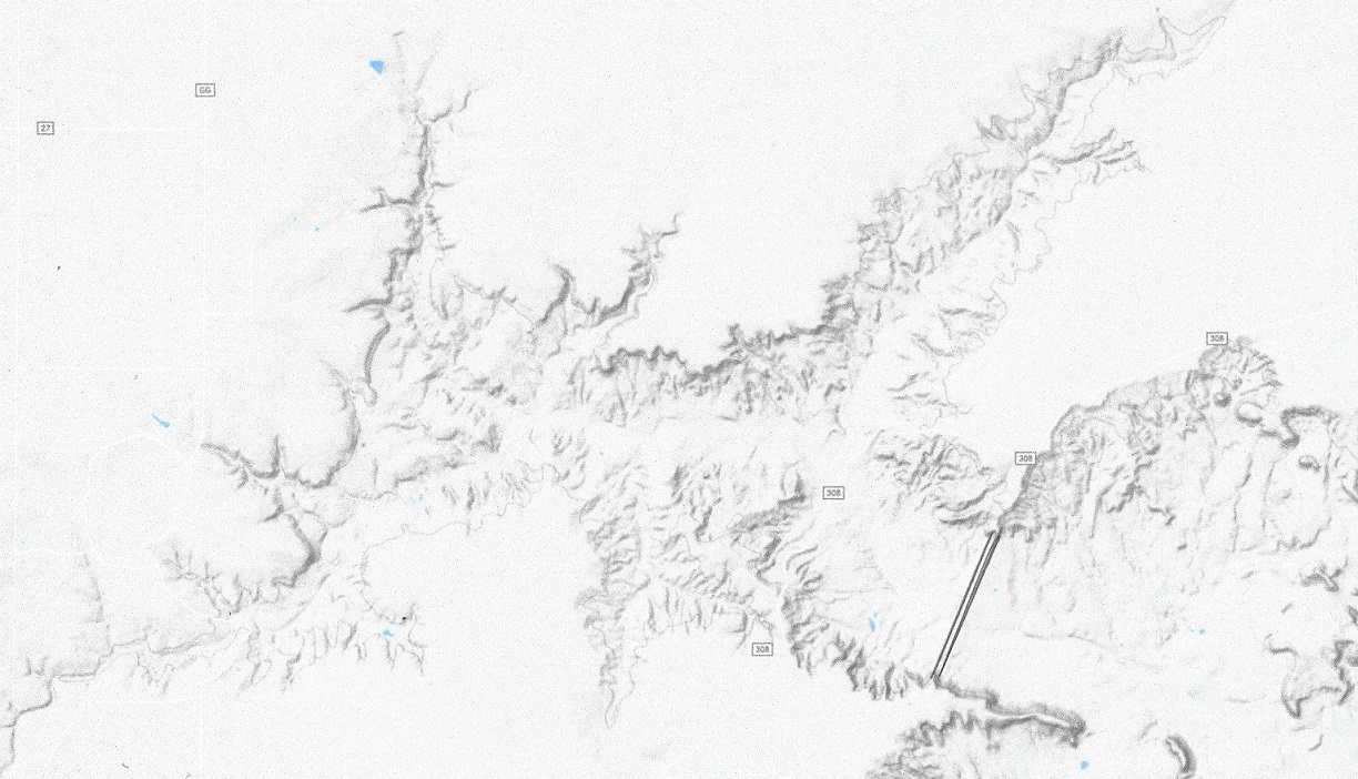
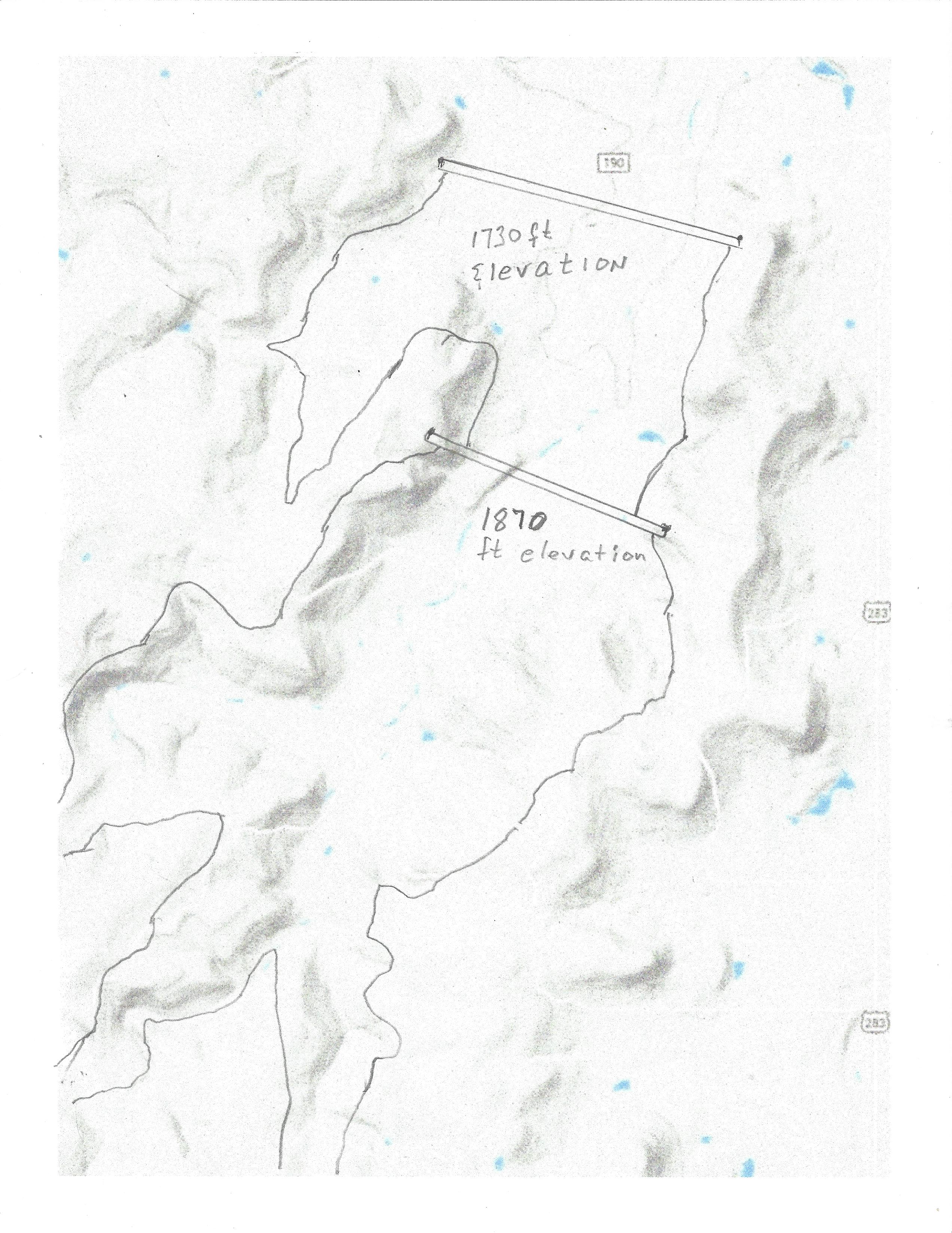
The elevation at the upper North of Baird dam is 1830 feet. From 19.5 miles ENE of Abilene to the East of Sweetwater dam the distance is 60 miles . The East of Sweetwater dam will top out at 2460 feet with maximum water level at 2450 feet. The total lift of the water in stage 4 is (2450 – 1860 + 60×2.2) feet = 702 ft. To lift 26,000 cubic feet per second 700 feet requires fifteen 100 MW LFTR nuclear reactors The East of Sweetwater dam will contain about 100,000 Acre-ft when full, about two days worth of storage. For 5 hours per day these 15 reactors can provide 1.5 GW of peak power to the grid.
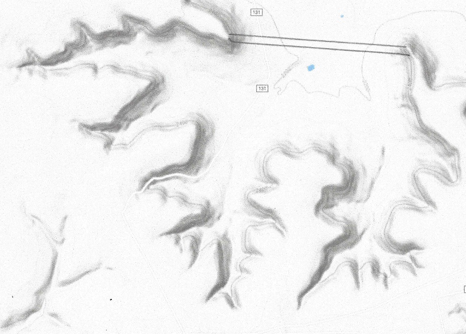
The second stage of the aqueduct went from Aquilla Lake to Brad Lake.
The elevation at Brad reservoir is 1370 feet. From 25 miles East of Breckenridge the aqueduct goes W to 19.5 miles ENE of Abilene, a distance of 60 miles . The dam yet to be built will top out at 1840 feet with maximum water level at 1830 feet. The total lift of the water in stage 3 is (1830 – 1370 + 60×2.2) feet = 592 ft. To lift 26,000 cubic feet per second 592 feet requires twelve 100 MW LFTR nuclear reactors The upper Baird reservoir will contain about 90,000 Acre-ft when full, about two days worth of storage. For 5 hours per day these twelve 100 MW reactors can provide 1 GW of peak power to the grid. There will be a lower dam to provide hydroelectric power storage of 4 GWh, of 800 MW for 5 hours, after which the lower dam will be re-emptied by pumping back the water to the upper dam, hopefully using surplus wind-power.
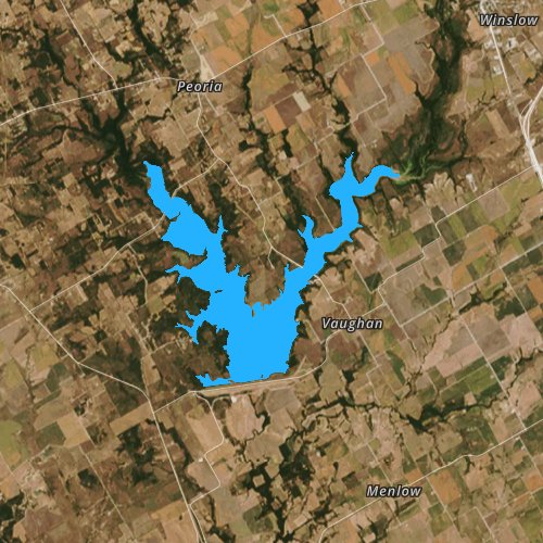
The Deadman Draw upper and lower lake
And this is what a hydroelectric power storage unit looks like:
The first stage of the aqueduct was from the Mississippi river diversion to Lake Aquilla:
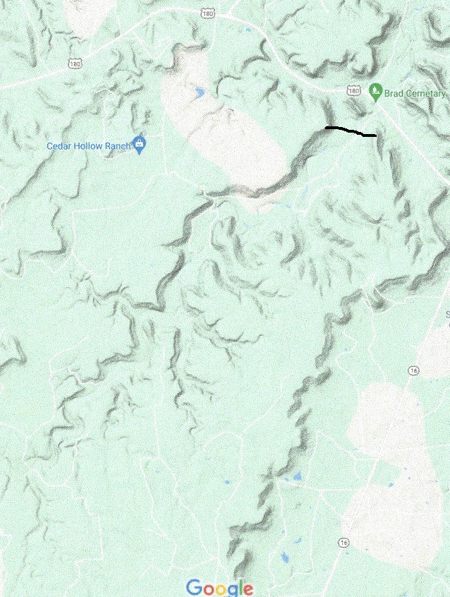
The elevation at this lake is 548 feet. From here the aqueduct goes NW to 25 miles East of Breckenridge. It crosses the Brazos river and then goes through the Squaw Creek reservoir. This reservoir is built to provide cooling water for a nuclear power plant. The aqueduct will provide extra water in case of extreme drought. The end of Stage 2 is a dam, located just south of the Brad Cemetery on U.S. route 180, 25 miles East of Breckenridge. The dam, yet to be built will top out at 1380 feet with maximum water level at 1370 feet. The total lift of the water in stage 2 is (1370 – 548 + 100×2.2) feet = 1062 ft. To lift 26,500 cubic feet per second 1062 feet requires twenty-three 100 MW LFTR nuclear reactors. Lake Brad will contain about 90,000 Acre-ft when full, about two day’s worth of storage. For 5 hours per day these 23 reactors can provide 2.3 GW of peak power to the grid. (The power can also be provided by wind power, during which time the LFTR’s can make hydrogen for extra peak power storage).
The Transcontinental aqueduct at the starting point will have a carrying .capacity of 15 million acre-ft per year, or 21,000 cubic feet per second on average. Maximum flow will be 26,500 cfs, allowing the power generators to supply peak power to the grid for up to 5 hours per day instead of pumping water.
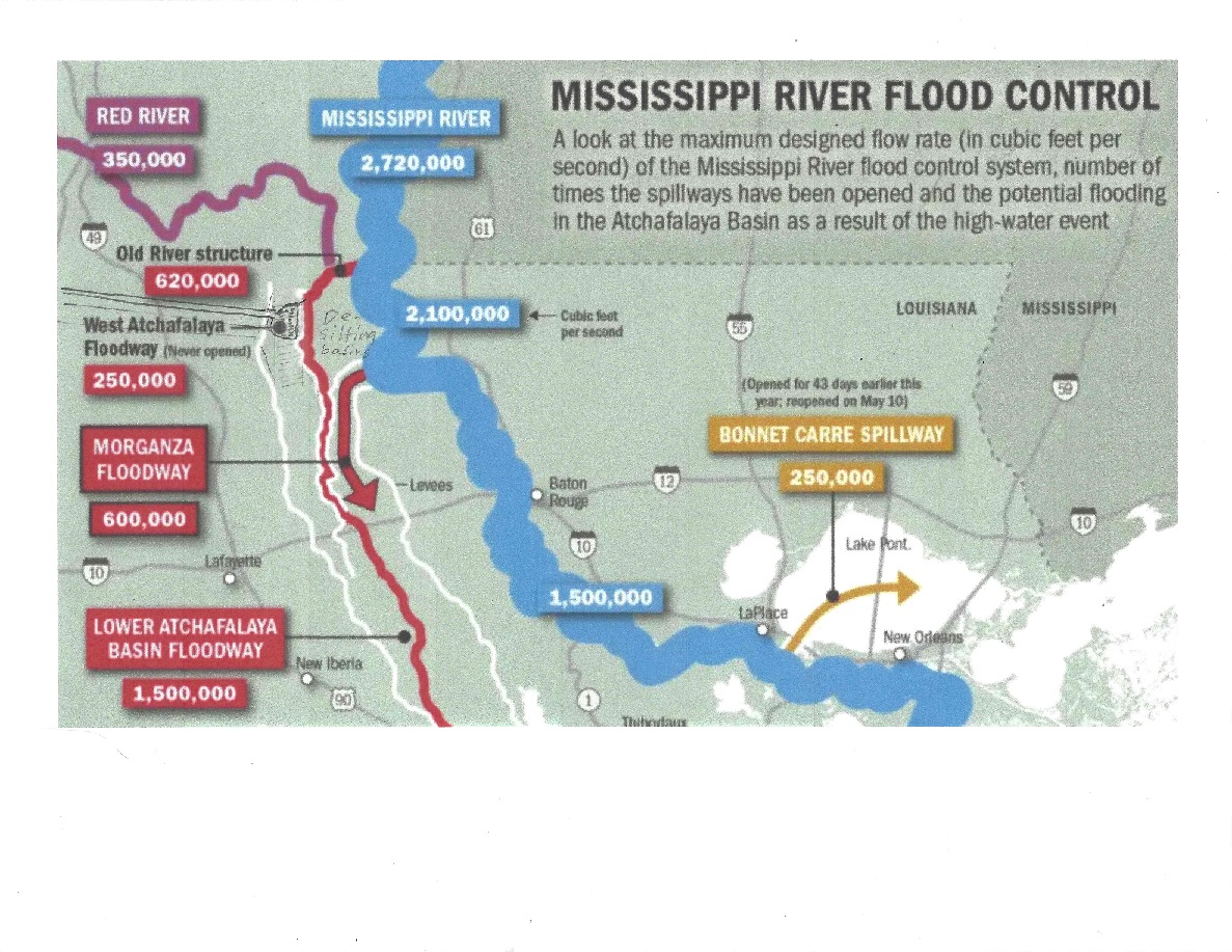
The starting point of the aqueduct is where the Red river empties out in the Atchafalaya river, and has a Mississippi River diversion canal. The elevation at the starting point is 7 feet, and the dam and 32 desilting basins of size 300 x 600 feet with a depth of 20 feet will be located in the upper part of the never used West Atchafalaya Floodway. From there the water will be collected and the aqueduct will start going westward.
The Mississippi River flood control Morganza spillway is south of the Atchafalaya river diversion, and will not interfere. The place chosen is ideal to relieve some of the Mississippi river flow. Even in the lowest Mississippi flow in a drought year this diversion has sufficient flow to divert 26,500 cfs from the river.
The first leg of the aqueduct is 360 miles long and is an open water river with pumping stations whenever the river has to rise at least 30 feet. The river runs by gravity until it has sunk about 15 feet which is about 6.2 miles downstream. Since endpoint is at 548 feet elevation this requires lifting the water about 1300 feet. During the course of the path the aqueduct crosses the Sabine River south of the Toledo Bend Reservoir, going through Richland-Chambers reservoir and Navarro Mills lake; following the best climb it crosses the Neches River and the Trinity River following the geologically best way until it reaches Aquilla Lake. The aqueduct is quite substantial, it will carry about 80% more water than the All American Canal, seen below under construction. This canal has a drop of about 2.2 feet per mile to accommodate maximum flow.
Pumping 26,500 cfs water through the aqueduct requires 3 Gigawatts of power when rounding up for turbine losses. This can be accomplished by thirty 100 MW LFTR reactors, also being able to provide up to 3 GW of peak power for 5 hours/day on demand.
The end point for stage 1 of the channel is Aquilla lake, elevation 548 feet. It has a storage capacity of 100,000 acre-ft, about a day’s worth of storage.
The goal of the Transcontinental Aqueduct is to save Lake Mead, save the American Southwest from becoming a desert, provide Hydroelectric peak storage for Texas, New Mexico and Arizona, provide sweet Mississippi water for irrigation, provide water to the Colorado river so it again can reach the ocean, revitalize San Carlos lake, provide more and better drinking water to 30 million people, to name just a few benefits.
The cost is substantial. The biggest problem is that the aqueduct must be substantially completed at full capacity before any benefits from the water will materialize. The cost to bring the aqueduct to half capacity is 300.5 billion dollars in construction cost only. This includes the cost of half the pumps or generators needed for full capacity, but not the cost of the power plants. Add to this the cost of filling the aqueduct and the 11 dams. The aqueduct itself will contain 1 million acre-ft of water when filled, the 11 dams will contain about 800,000 acre-ft when half full. To pump 1.8 MAF an average of 5000 feet requires about 10 TWh, when losses are included. Th filling stage water will be pumped, using excess wind and solar power at bargain rates, about 4 c/kwh , the same as the LFTR will produce when fully installed. This is about 320 million dollars in “liquid investment” The electric cost of moving one acre-ft from the Mississippi to the Colorado River is 6 MWh. This power is initially bought from off-peak wind and solar power, but as the aqueduct is completed with true hydropower storage up more and more the power will be generated with 100 MW LFTR power plants, the hydropower storage will be filled with excess wind and solar power.
In short: assuming a 50 year amortization plan for the aqueduct, and money available at 2%, , it will cost 12.5 billion a year in capital cost to deliver 7.5 MAF water from the Mississippi River to the Colorado river or any point in between, or $1,670 per acre-ft. Add to that $240 for electricity and another $50 per acre-ft in overhead and maintenance, the cost will be $1960 per acre-ft
When the aqueduct is fully built up, it will cost $13.4 billion yearly in capital cost to deliver 14.5 MAF of water from the Mississippi River to the Colorado river or any point in between, or $ 925 per acre-ft. The other costs stay the same, so the total cost of water will be $ 1,215 per acre-ft.
I have not yet mentioned the other major benefit of the Transcontinental Aqueduct. If I wanted the lowest cost of water possible, I would have used the lower route, going through the Texas lowlands to El Paso before routing it through New Mexico and Arizona. I routed it through the high and dry parts of Texas and New Mexico, at extra altitude penalty. The intent is to provide Hydropower storage at select places. These places are ideal for wind and solar power, but they need to store the energy when the sun is not up or doesn’t shine, or the wind doesn’t blow. Right now that is provided by coal and natural gas. Conventional nuclear power is best for use as base power only, so this transcontinental aqueduct will provide up to 23 GW of pure hydropower storage for 5 hours a day, but the LFTR nuclear stations providing the energy pumping the water in the aqueduct will shut off the pumps for five hours a day, or when the need arises, and instead provide another 20 GW of virtual hydropower power.
These 43 GW of hydropower capacity will be as follows: Louisiana, 0.4 GW; Texas, 18,5 GW (right now, Texas has no hydropower storage, but plenty of wind power); New Mexico, 10.5 GW; Arizona 13.6 GW. In Addition, when the Transcontinental Aqueduct is fully built up, the Hoover dam can provide a true 2.2 GW hydrostorage poser by pumping water back from Lake Mojave, a 3 billion dollar existing proposal waiting to be realized once Lake Mead is saved.
The amount of installed hydroelectric power storage is:
Most hydroelectric pumped storage was installed in the 70’s. Now natural gas plants provide most of the peak power. This aqueduct will double, triple the U.S. pumped peak storage if virtual peak storage is included. By being pumped from surplus wind and solar energy as well as nuclear energy it is true “Green power”. Some people like that.
To begin cost estimates, the model used is the cost for the Arizona central project. The waterway was constructed 1974 to 1993 at a cost of 4.7 billion dollars. In 2021 dollars that would be about 12.8 billion. The cost for the canal would be about 12 billion and 800 million for the pumping stations. The average size of the aqueduct in its beginning is 80 feet across the top and 24 feet across the bottom and the water is 16.5 feet deep. The concrete is 3.5 inches thick and, in some areas, it is reinforced with steel rebars. It is 336 miles long from Lake Havasu City to Tucson with a total lift of over 2,900 feet. The capacity starts out at over 2.2 million acte-ft per year, diminishing as the drop-off point occurs, and the total pumping of 1.4 million acre feet of water is lifted by up to 2,900 feet by 14 pumping stations using 2,500 GWh of electricity each year. The pumping stations have a total pumping capacity of 240 MW.
The transcontinental aqueduct is much bigger: The The average size of the aqueduct in its beginning is 220 feet across the top and 65 feet across the bottom and the water is 44 feet deep. The concrete is 4.5 inches thick and, in some areas, it is reinforced with steel rebars. The concrete used is 16,500 cu yd per mile. It will cost about five times as much per mile as the ACP, so the total cost for the Transcontinental Aqueduct will be (12x 5 : 336 x 1505) = 268 billion dollars.
The cost of building the dams are estimated at $1 billion per dam. There are 15 dams, of which 11 must be built before aqueduct is operational at half capacity.
There is a total of 29.1 GW of pumped power and 3.8 GW of base power generated. To get the aqueduct operational at 7.5 MAF/year it requires 16.5 GW of energy. Pumping cost capital is about $ 1.30 per watt, so the minimum pumping capital cost is 21.5 Billion dollars. When the aqueduct is fully built up the capital cost for pumping includes 23.3 GW of peak power, raising the cost to $ 52 Billion’
The Liquid Fluoride Thorium Reactor chosen is a 100 MW unit. The reactor core assembly is small enough so it can be produced on an assembly line and delivered on truck. It can be built for $ 230 million. To complete the installation costs another # 30 million per unit. The aqueduct needs 146 for minimum flow, and another 145 when it is fully built out. The initial capital cost for grid access and minimum flow is $38 billion, double that when fully built out.
To sum it up,the capital cost for a flow of 7.5 MAF is (268 +21.5 + 38) = 327.5 billion dollars. At a flow of 15.5 MAF the cost is 387 billion. To add another 22.1 GW of 5 hour peak power per day add 5 billions for 4 dams and tunnels and 28 billion for pumps = 33 billion dollars
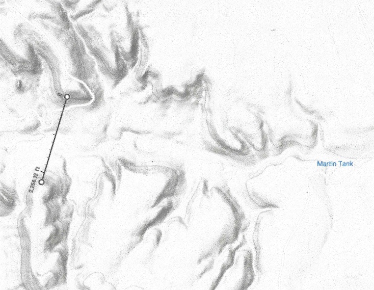
Stage 8 went from Arch Lewis Canyon Lake to Martin Tank Lake. The Martin Tank Lake dam is 22260 feet wide and 230 feet high. The Lake will contain about 30,000 Acre-ft when full, about eighteen hours worth of storage.
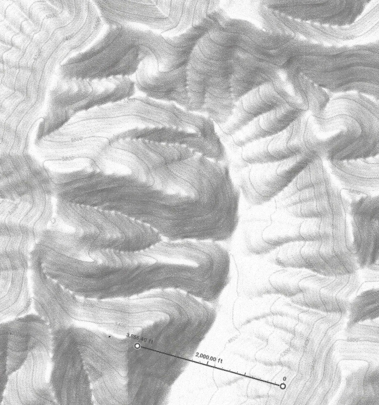
The elevation at the Martin Tank lake will top out at 4620 feet with maximum water level at 4610 feet. The aqueduct will first descend to 3980 feet, as it crosses the Rio Grande in La Mesa, a distance of 50 miles. The elevation difference is (4620 – 3980 – 50 X 2.2) feet = 530 feet. Releasing 24,000 cfs of water 530 feet will generate 1 GW of energy for 19 hrs/day. From La Mesa it will climb to the Round Mountain Rockhound Reservoir. The dam is 400 feet high and will top out at 5360 feet with a maximum water level at 5350 feet. The total lift of the water in stage 9 is (5350 – 3980 + 160×2.2) feet = 1722 ft. To lift 24,000 cubic feet per second 1722 feet requires seven 500 MW LFTR nuclear reactors, . T he Round Mountain Rockhound Reservoir will contain about 40,000 Acre-ft of water when full, about one day of storage. For 5 hours per day these seven reactors used in this stage can provide 3.5 GW of peak power to the grid instead of pumping water, thus acting as a virtual hydroelectric peak power storage. The Round Mountain Rockhound Reservoir will look like this:
Stage 8 ended in Arch Lewis Lake. It will be filled mostly during the 5 hours of peak power generation. During the other 19 hours the fill rate will be very low leading to lowering water levels.
It has a 3000 feet wide and up to 480 feet high dam, topping out at 4620 feet, and the lake holds a volume of up to 60,000 acre-ft of water.
From the Arch Lewis Lake dam to the Martin Tank Lake the distance is 60 miles the way the aqueduct takes. It will first descend to 3720 feet before rising to 5190 feet. The descending drop is (4620 – 3720 – 2.2 x 9), or up to 890 feet. The Martin Canyon Lake will top out at 5200 feet with maximum water level at 5190 feet. The total lift of the water in this stage is (5190 – 3720 + 51×2.2) feet = 1582 ft. To lift 25,000 cubic feet per second (1582 x 1.03 – 890 x 0.97) = 766 feet requires three 500 MW LFTR nuclear reactors plus the use of 80 MW from the grid. The Martin Tank Lake dam is 22260 feet wide and 230 feet high. It will contain about 30,000 Acre-ft when full, about eighteen hours worth of storage. For 5 hours per day the three reactors can provide 1.5 GW of peak power to the grid.